
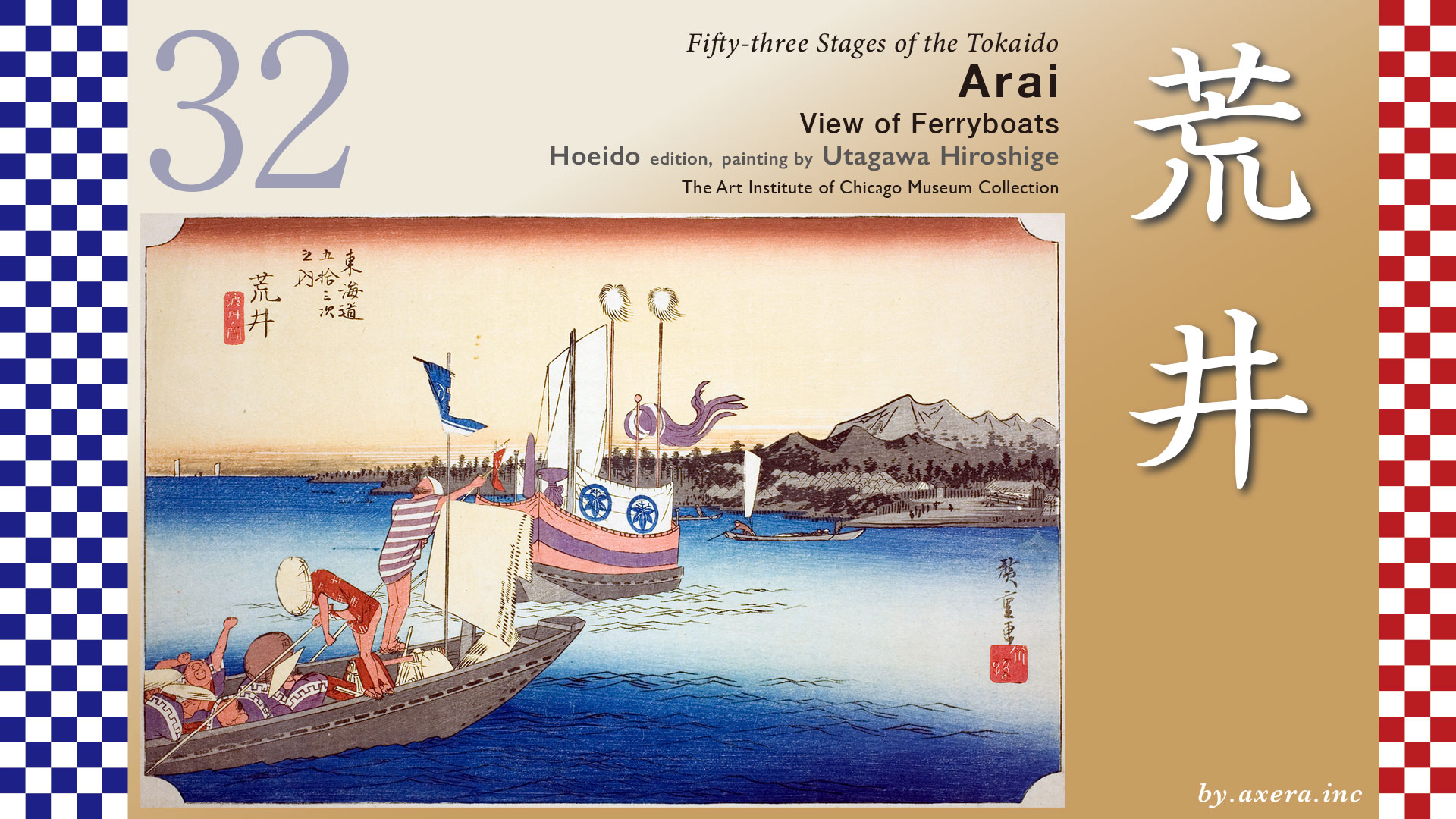
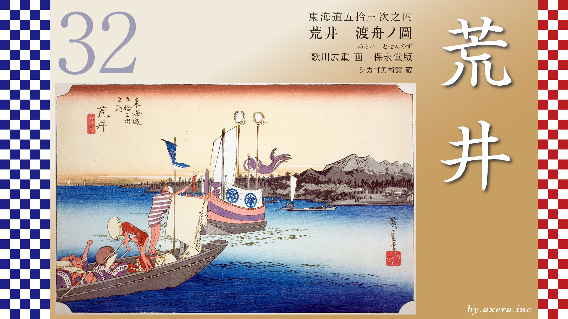
This depicts a ferry crossing the Imagire, soon to arrive at Arai-juku.
First, please confirm the location on a modern map that includes Maisaka-juku.
Upon reaching Maisaka along the Tokaido, the journey to Arai-juku involved a roughly 3.9-kilometer boat trip. The Tokaido is shown in navy blue, while the Imagire Ferry route is indicated by a dashed line.
Today, land reclamation and railway construction have progressed so much that traveling by train or car makes it feel like solid ground. But back then, it was over the sea.
Looking at a slightly enlarged late Meiji-period map from the Geospatial Information Authority of Japan, the coastline appears quite different from today’s. It seems likely that the shipping routes during the Edo period followed roughly along this red dashed line.
Now let’s overlay the current map on top of this.
Please note the point where Hiroshige’s viewpoint can be inferred from here, indicated by a red gradient.
I’ll modify the current Apple Map to make it a bit easier to understand and recreate the state prior to 1490.
According to maps of this area from before 1490, Maisaka and Arai were nearly connected by land, separated only by a small river flowing out of Lake Hamanako. Surprisingly, the entire yellow-green area on this map was land. At that time, Hashimoto-juku, that has since disappeared, thrived along the banks of this small river.
However, in 1498, the Meio Earthquake struck the entire coastline of Enshu-sea. The opening of Lake Hamanako subsided, and the accompanying tsunami breached the sandbar separating the lake from the sea. This area, formed mainly from sediment deposited by the Tenryu River, proved particularly vulnerable. Lake Hamanako, which should have been quite distant from the sea, became mixed with seawater, transforming into a large brackish lake. The once-prosperous Hashimoto-juku split into Arai-juku and Maisaka-juku, then known as “Maezawa.”
This map shows the general state of affairs at that time. However, subsequent events included a major coastal collapse on the Maisaka side in 1510, and in 1699, after the establishment of the Edo shogunate, the original Arai barrier was severely damaged by storm surge flooding.
In 1707, the Hoei Earthquake and tsunami flooded and destroyed 855 houses in Arai-juku, severely damaging the ferry operations. The Arai barrier was relocated westward, becoming the 3.9 km long Imagire Ferry depicted by Hiroshige. However, in reality, silt deposits frequently created navigable shoals along that route, making ferry operations difficult to maintain.
Records from the Tenpo era when Hiroshige painted this scene indicate that the boat fare was 18 mon per person and 53 mon per load of luggage. Using the current conversion rate of one mon to 50 yen, that comes to about 900 yen per person. I’ve added a red gradient to Hiroshige’s viewpoint.
Here, please look at this map showing the relationship between the Tokaido and the Hime-Kaido.
After Tokugawa Ieyasu established the Edo shogunate, preparations against the western provinces became the most critical task. For military fortifications, Sunpu Castle and Shimizu Port were developed, while for land-based security, this Arai-juku checkpoint served as the front line.
The phrase “Enter the gun and leave the woman,” was a sarcastic reference to the heightened enforcement at barrier aimed at preventing guns from being brought into Edo and the secret escape of daimyo family members held as hostages in Edo residences.
The Arai barrier was particularly strict in enforcing this function, making it a formidable barrier. It was considered a difficult point for east-west travel because it required ferry crossings and enforced strict barrier controls. Furthermore, the term “imagire” was associated with divorce, making it especially unpopular among women.
The shogunate even promoted the Hime-kaido, which bypassed the disaster-prone Tokaido by passing north of Lake Hamanako, during certain periods. Travelers disliked the Tokaido and concentrated on the Himekaido instead. This is the green line on the map.
Even after the 1707 Hoei Earthquake, users did not return to the Tokaido, and recovery remained difficult. Consequently, petitions were submitted from the six jukus bypassed by the Hime-Kaido, urging official travel to use the Tokaido. Nine years later, passage on the Hime-Kaido was finally prohibited. However, in reality, despite orders from the shogunate’s road commissioner, travelers were slow to return to the Tokaido route.
On the contrary, in 1853, when Atsuhime, the principal consort of the 13th Shogun Tokugawa Iesada, passed through here en route to her wedding procession from Kagoshima, the road previously known as “Honzaka-dōri” suddenly gained fame as the “Himekaido.” During the Ansei Earthquake of November 1854, Arai and Maisaka were struck by a tsunami. In Arai, the barrier was severely damaged, 10 nearby houses were completely destroyed, 31 were damaged, and 14 people lost their lives. The Tokaido Road was also temporarily impassable.
Hiroshige depicts two boats with the unpopular Arai barrier in the distant right background.
The boat ahead is the daimyo’s special ceremonial vessel, its feathered spears and streamers fluttering in the wind. The boat on the left foreground carries retainers. Mindful of the ceremonial boat ahead, it moves slowly, slowly, careful not to overtake it. Inside that boat, the idle retainers stretch their arms skyward while yawning widely―quite amusing. They must be bored stiff by the long voyage.
Looking at Reisho edition, we can see that boats could dock right up to the barrier at that time. The area to the right of Mount Fuji is Maisaka juku, but it wasn’t this far away.
The Gyosho edition depicts the view from the sea toward Arai barrier. Here, cargo boats are steadily advancing toward the Arai barrier.
Even in the Poem edition, only daimyo, samurai, and retainers are depicted. The townspeople peering into the barrier are quite amusing, aren’t they?
Please take a look at this second print with its slightly different color scheme. In this second print, the kimonos worn by the intermediaries and the curtains and streamers on the official boat have changed from purple to brown. Notably, the barrier is depicted quite faintly. At that time, the Tokaido route passing through Arai barrier was a road used reluctantly by certain individuals, such as daimyo, who wished to avoid appearing to defy the shogunate. Hiroshige was well aware of this situation. He seems to have composed the figures depicted solely of daimyo retainers, creating a painting that slightly mocks Arai-juku.
Comparing them side by side, the first print definitely has more impact.
By the late Edo period, the Arai barrier had largely ceased functioning, its inspection capabilities significantly diminished. As surveillance at the barrier relaxed toward the end of the Edo era, patriotic warriors could move freely, facilitating smooth communication and information exchange with comrades across various domains. Transporting weapons, military supplies, and operational funds also became relatively easier. This weakening of the barrier may have provided an opening exploited by the Satsuma-Choshu alliance, becoming one factor that ultimately led to the Meiji Restoration.
I actually visited this spot.
This area is likely the approximate viewpoint from Hiroshige’s print. Beyond here, the land has since been reclaimed and turned into a road, but the sea stretched right up to the barrier, and it seems ships docked directly here before passengers disembarked at the barrier.
This is the reconstructed Arai barrier.
The barrier buildings were rebuilt one year after the 1854 Ansei Earthquake. After the Meiji period began, they were used as an elementary school and government office. In 1955, it was designated a Special Historic Site as the “Arai barrier Ruins.”
A photo album published in 1918 contained a photograph taken from nearly the same angle. Such scenery still remained until the Taisho era.
Using Google Street View, I looked ahead from Hiroshige’s viewpoint. I colored the Tokaido orange and the ferry crossing red to show it. The sea extended right up to the barrier, didn’t it?
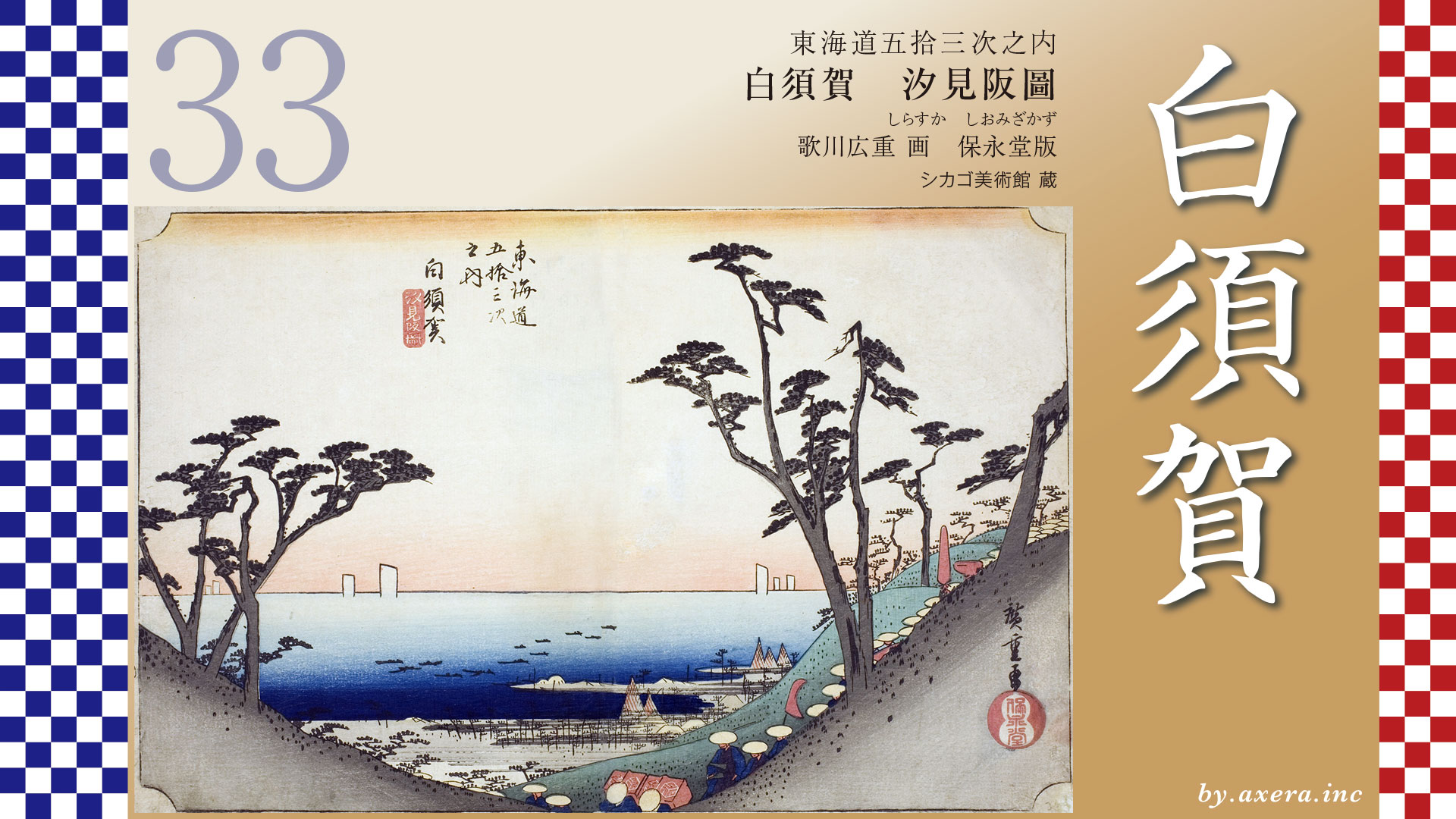
The Tokaido continues left toward Shirasuka-juku, with the Enshu Sea ahead and the Atsumi Peninsula beyond.
コメント