
About Content
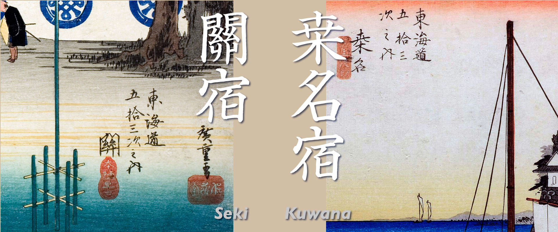
■Ukiyoe Images
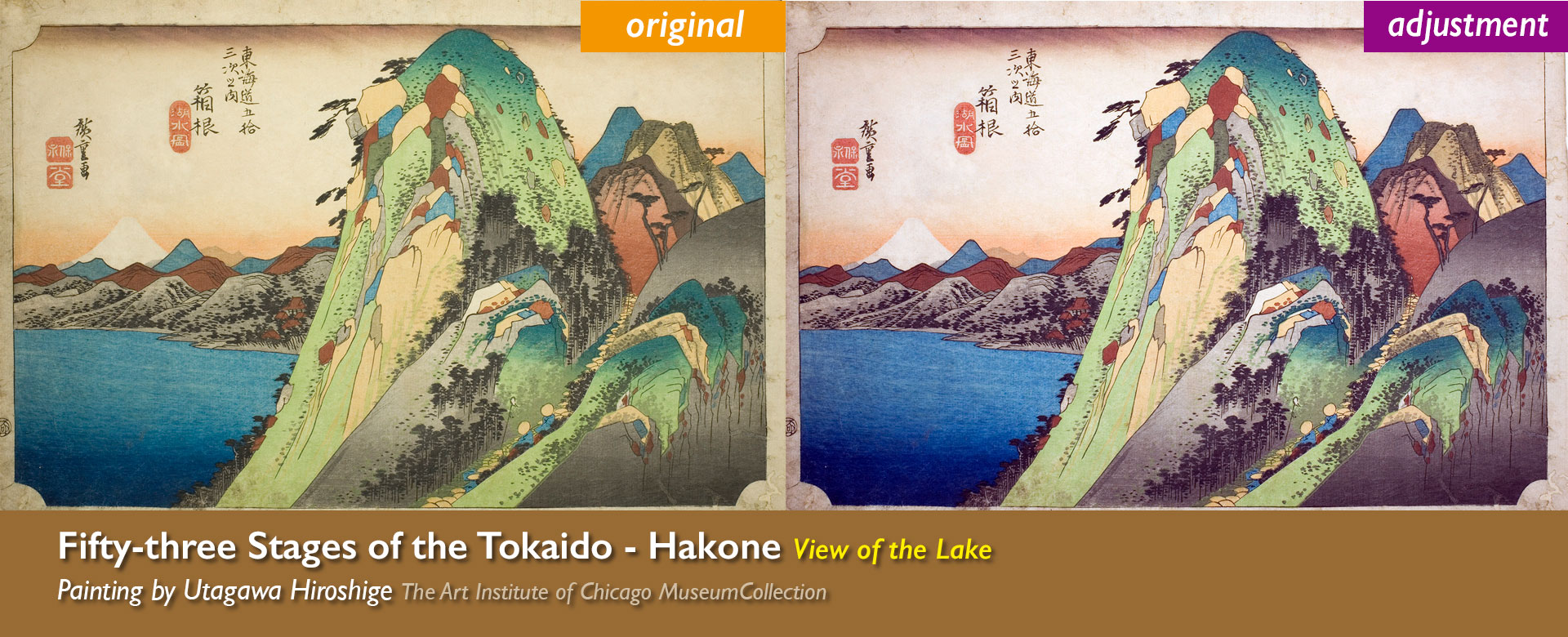
In order to reproduce Ukiyo-e in their original condition, we have adjusted the histogram and corrected burns and yellowing to reproduce the colors of the original publication as much as possible. In the case of insect damage or obvious stains, we have processed the images. Therefore, the colors may differ slightly from the originals that exist in each museum. Please understand this in advance.
■Originally photographed images
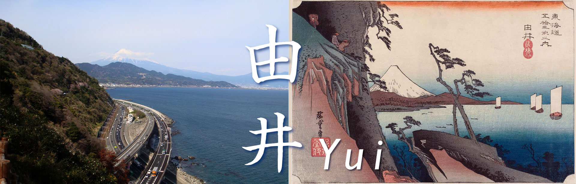
We actually went to the places where Hiroshige would have painted here and took original photographs. However, for impossible angles, uncertain locations, and places where it is impossible to go, we have used other means to introduce them. The book was published in 1918, and some of the photographs taken at those locations at that time are also presented.
■Map
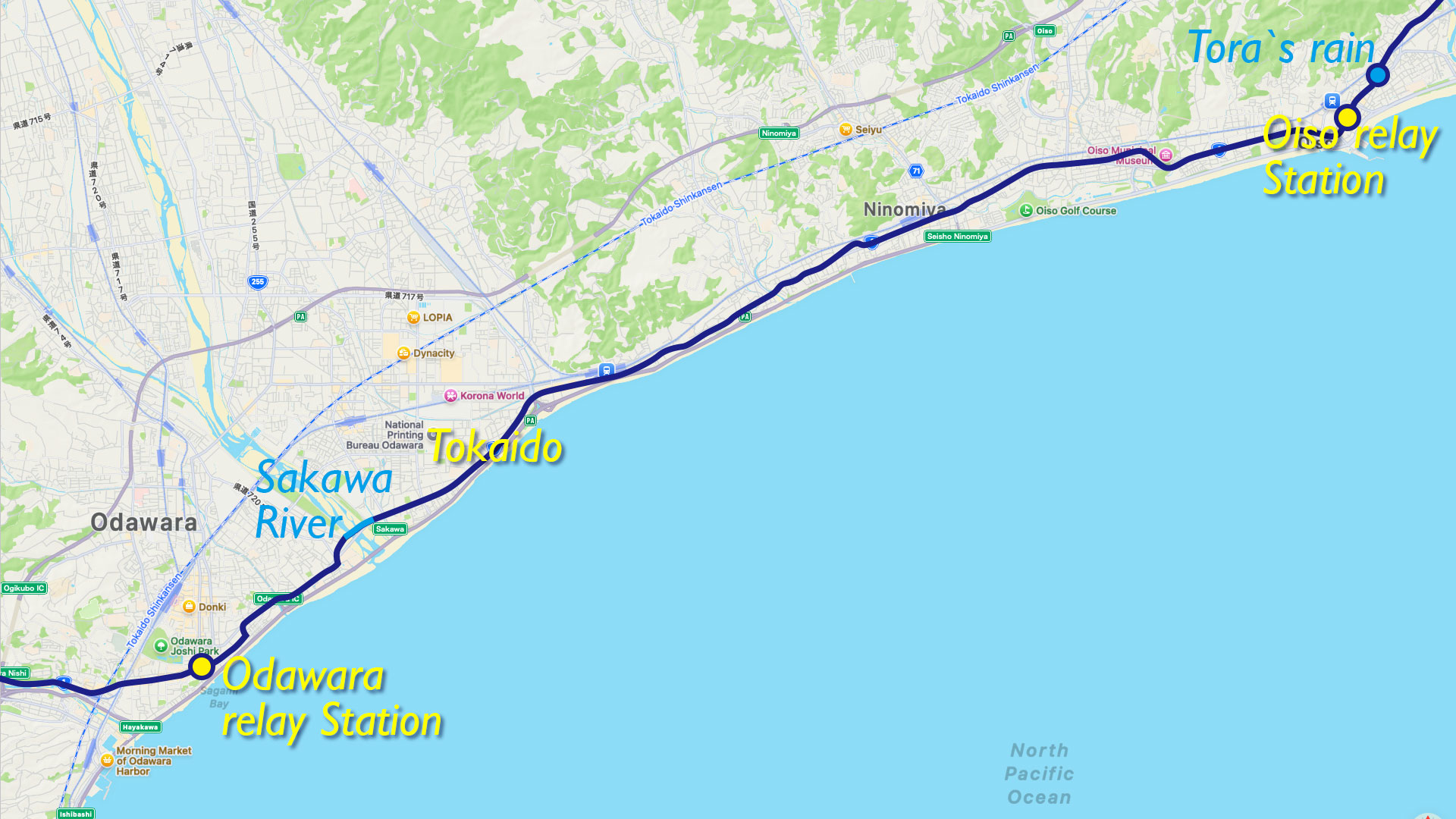
In order to help visitors understand the location of the Tokaido Highway at that time, we have used Apple MAP to cover the Tokaido Highway in the Edo period in dark blue. The yellow circles on the map basically show the names of inns, which are the locations of the main camps. The distances between inns in the explanations are also the distances between the main camps. The blue circles on the map indicate the locations where Hiroshige painted, and are basically the subtitle of his paintings.
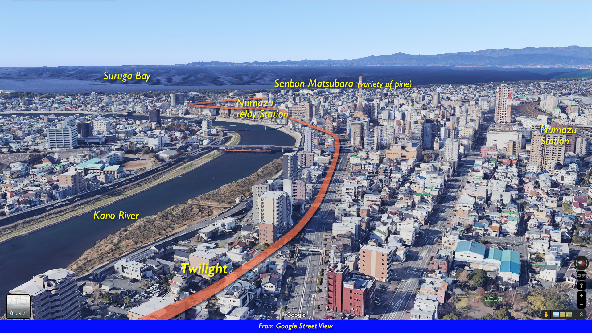
■ Street View
At the end of each inn, a GoogleMAP street view from the sky toward the direction of travel is shown. It is like viewing Tokaido from above. This gives the viewer a sense of seeing the present-day scenery and Tokaido Highway together. However, since the topography and road geometry are different from those days, Tokaido Highway sometimes runs through places that are not roads.
■Kanji
Basically, we try to use Kanji characters in Hiroshige’s strokes.